Menu
Log in
Log in


Explore the Depths of the Library's Map Collections

  • Thursday, October 26, 2023
  • 3:00 PM - 6:30 PM
  • In-Person and Zoom

In-person and virtual events at Library of Congress in conjunction with the Philip Lee Phillips Society.

Location: Library of Congress, James Madison Building. Lectures will be held in the Mumford Room and also virtually. Tour and reception will be held in the Geography and Map Reading Room (B01). See below for registration.

Time:  3:00 pm ET/2:00 pm CT/1:00 pm MT/12:00 pm PT

Title: Mapping Mountains

Speaker:  Ernesto Capello, Professor, History Department, Macalester College, Saint Paul, MN

This talk surveys the broad history of relief representation in cartography with an emphasis on the allegorical, commercial and political uses of mapping mountains. Developed with the support of a 2019 Phillip Lee Phillips society fellowship, it presents a brief historical account of techniques of relief representation before delving into four clusters of mountain mapping metaphors. These include visions of mountains as paradise, the mountain as site of colonial and postcolonial encounter, the development of elevation profiles and panoramas, and mountains as mass-marketed touristed itineraries.

The oldest extant map, a Mesopotamian clay tablet from 2500 BCE, also happens to be the first attempt to map mountains. The so-called Nuzi Tablet likely depicts the Zagros mountains (which top out at 14000 feet) and the Kirkuk hills (which lie at about 1000 feet). Each is represented through similarly sized semicircular mounds, demonstrating just how long humans have struggled to accurately depict relief.

Time:  4:00 pm ET - 5:15 pm ET

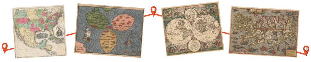
Title: Special Display, Tours and Reception in Geography and Map Reading Room (B01)

Time:  5:30 pm ET/4:30 pm CT/3:30 pm MT/2:30 pm PT

Title: John White's 1585 Map of the North Carolina Outer Banks

Speaker:  Brent Lane, Fellow of Global Heritage Economics, Global Research Institute, University of North Carolina at Chapel Hill

As a native North Carolinian, Brent was surprised to learn that behind the romanticism of the story of Sir Walter Raleigh’s “Lost Colony” lay a 16th century tale of scientific entrepreneurship addressing challenges still faced by today’s new tech businesses in places like Silicon Valley and the Research Triangle Park. Raleigh faced rightly skeptical investors as he sought startup capital for his 1584-1590 Roanoke Colony venture. Cartography played a key role in his “campaign of persuasion,” at the center of which was John White’s 1585 Map of the North Carolina Outer Banks.

Planning to attend?   

Click here to attend in person.

Click here to join the program on Zoom.


© 2021 Washington Map Society.  All Rights Reserved.


Powered by Wild Apricot Membership Software