|
|
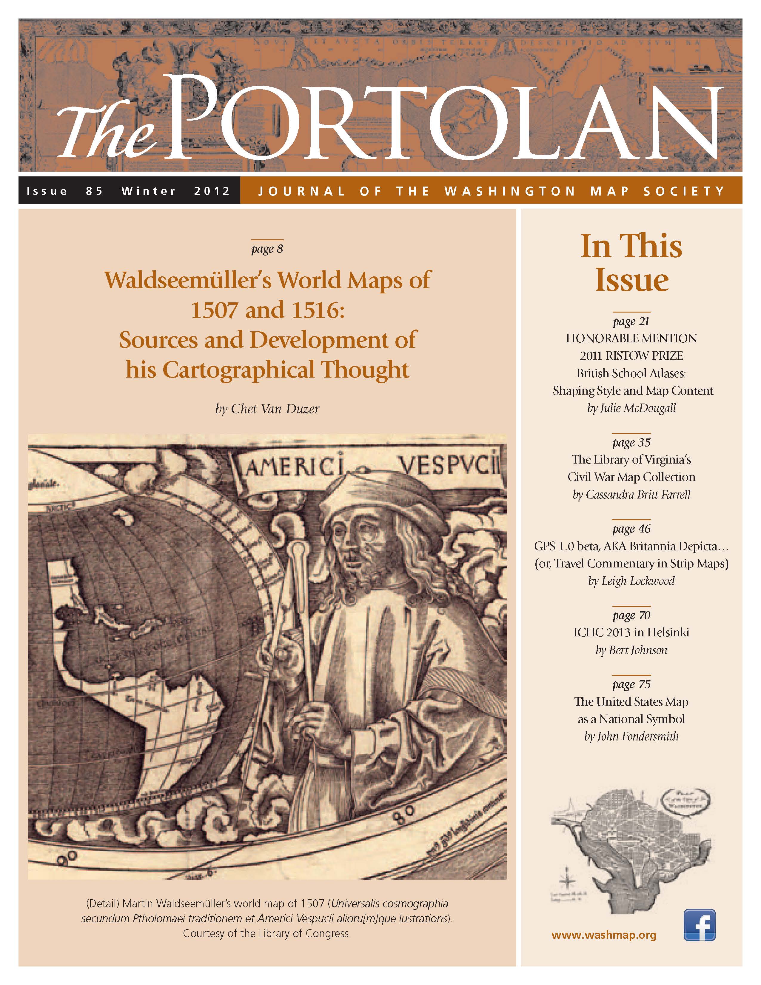
The Portolan Issue #85 - Winter 2012 ARTICLES Waldseemüller’s World Maps of 1507 and 1516: Sources and Development of his Cartographical Thought, by Chet Van Duzer British School Atlases: Shaping Style and Map Content, by Julie McDougall The Library of Virginia’s Civil War Map Collection, by Cassandra Britt Farrell GPS 1.0 beta, AKA Britannia Depicta… (or, Travel Commentary in Strip Maps), by Leigh Lockwood The United States Map as a National Symbol, by John Fondersmith 25th International Conference on the History of Cartography Helsinki, Finland, 30 June–5 July 2013, by Bert Johnson RECENT PUBLICATIONS This regular feature, a bibliographic listing of articles and books appearing worldwide on antique maps and globes and the history of cartography, is compiled by Joel Kovarsky. BOOK REVIEWS European Perceptions of Terra Australis (Reviewer: Henry J. Steward) Alte Landkarten (Reviewer: Imre Josef Demhardt) The Lost Empire of Atlantis (Reviewer: J. B. Post) The Black Book: Woodrow Wilson’s Secret Plan for Peace (Reviewer: Matthew D. Mingus) Oxford Companion to World Exploration (Reviewer: James L. Newman) Mapping the Nation: History and Cartography in Nineteenth-Century America (Reviewer: P. J. Mode) A Washington Sketchbook: Drawings by Robert L. Dickinson, 1917–1918 (Reviewer: Eugene Scheel) The Mapping of Taiwan: Desired Economies, Coveted Geographies (Reviewer: Harold Meinheit) SHORTER ITEMS 1. Washington Map Society Meetings, December 2012 – April 2013 2. President’s Winter 2012 Letter, by J.C. McElveen 3. Ristow Prize 2012 Winners Announced 4. Exhibitions and Meetings 5. Map Site Seeing 6. Ristow Prize Competition 2013 7. IMCoS 2012 was in Vienna — and the WMS was There, by Thomas Sander 8. Spotlight on the WMS Membership – Robert Berg, Wes Brown, George and Edith Piness 9. Cartographic Notes, by Thomas Sander |
© 2021 Washington Map Society. All Rights Reserved. |
|