|
|
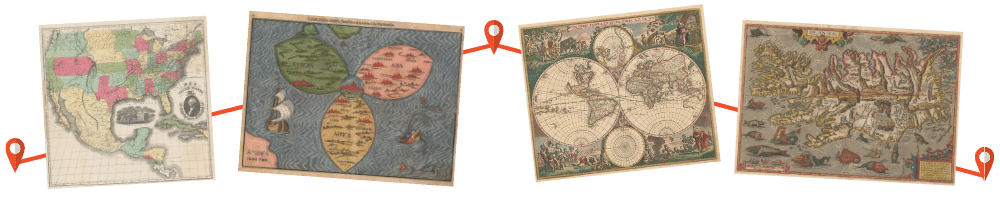
The Portolan Issue #82 - Winter 2011 ARTICLES Regio Patalis: Australia on the Map in 1531? (Early South Sea Voyages, or merely Cartographic Evolution?) by Robert J. King Alexander von Humboldt: Scientific discoverer and cartographer of the Americas by Imre Josef Demhardt The Black Book – Woodrow Wilson’s Maps for Peace by Wesley J. Reisser Maps of the Peninsular War in the Hauslab-Liechtenstein Map Collection at the Library of Congress by Ian M. Fowler Eye of the Explorer – Illustrating Isaac Stevens’s Pacific Railroad Survey, 1853-1854 by Paul D. McDermott, Ronald E. Grim and Philip Mobley ICHC 2011 in Moscow – An After Action Report by Bert Johnson RECENT PUBLICATIONS This regular feature, a bibliographic listing of articles and books appearing worldwide on antique maps and globes and the history of cartography, is compiled by Joel Kovarsky. BOOK REVIEWS The Last Great Cartographic Myth: Mer de l’Ouest (Reviewer: Fred Shauger) Maphead: Charting the Wide, Weird World of Geography Wonks (Reviewer: Leigh Lockwood SHORTER ITEMS 1. Washington Map Society Meetings, December 2011 – May 2012 2. President’s Winter 2011 Letter, by Dennis Gurtz 3. Ristow Prize 2011 Honorees Announced 4. Facebook, QR Codes and the WMS, by Richard Moore 5. IMCoS Meets in Malta, by Rod Lyon 6. Exhibitions and Meetings 7. Map Site Seeing 8. Ristow Prize Competition 2012 9. Spotlight on the WMS Membership – Fred Goldsmith, Arthur Holzheimer, Stanislas de Peuter 10. Cartographic Notes, by Thomas F. Sander |

© 2021 Washington Map Society. All Rights Reserved. |
|